SIGN UP AND GET UP TO A

$1,000
CASINO BONUS
CASINO BONUS
Welcome to Jackpot City Online Casino
Welcome to Jackpot City, an online casino where excitement and adventure can be found around every corner!
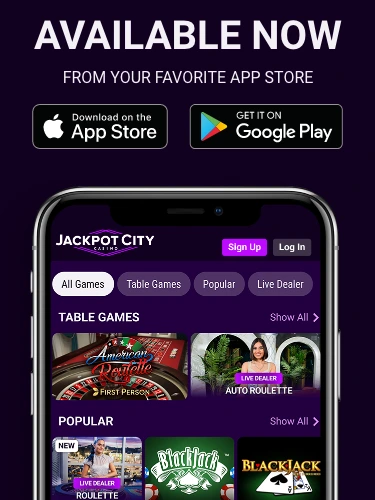
We offer players hundreds of online casino games, including slots and dozens of table games featuring live dealer action. Players can enjoy gaming in a safe and secure environment, and are offered a variety of banking options for deposits and withdrawals at the casino.
Join the adventure and try your hand today!
Popular Jackpot City Casino Games


Safe & Secure Banking
All of the different games and playing options that we offer players are licensed and regulated. This means we adhere to strict international stipulations, and we are regularly checked to make sure we are still doing what we are supposed to be doing! As part of our high standards, we offer several trusted payment methods. This should allow every player to make deposits and withdrawals quickly and easily.
24/7 Support
We take pride in running our online and mobile casinos well, and you shouldn’t have any administrative issues. On the rare occasions that you do run into difficulties, we’ve got a friendly and efficient customer service team on hand at all times to help you deal with them. Support is available through live chat and email channels.
Responsible Gaming
Player safety at Jackpot City Online Casino extends beyond technology solutions to responsible gaming with options available for everything from cooling-off periods to outright self-exclusion from the casino. Players are also able to set limits on their deposits or losses and can access their transaction history to see every bet, deposit and withdrawal from the past 12 months.